
Five Del Rio ZIPs
Official Texas postal material lists five ZIP codes for Del Rio: 78840, 78841, 78842, 78843, and 78847. The evidence supports postal labels and a few facility details, not neighborhood boundaries, population totals, or a complete delivery map. The table keeps that distinction visible. A complete-address check through USPS is still the final way to verify a particular delivery address.
| ZIP code | Officially supported label or use | Post office or station | Careful reading |
|---|---|---|---|
| 78840 | Del Rio standard postal city and main city delivery area | Del Rio Post Office, 2001 N Bedell Ave.; Pecan Station, 114 E Broadway | Exact city-limit line and neighborhood split were not published in reviewed postal sources |
| 78841 | Del Rio postal and post-office-box addressing | Pecan and downtown operations associated with Del Rio | Delivery classification needs USPS confirmation |
| 78842 | Del Rio postal and post-office-box addressing | USPS label data maps it to Del Rio | Exact delivery area was not confirmed |
| 78843 | Laughlin AFB place label retained in organization material; Del Rio in current label data | Laughlin AFB and Del Rio service | Facility detail was not identified in the capture |
| 78847 | Del Rio label in Texas and USPS postal lists | Specific facility was not located | Confirm its special or limited use with USPS before characterizing it further |
The table therefore describes postal evidence, not a map of neighborhoods. Save the code as printed on an older document, then verify the full street address using the current postal tool before connecting it to a parcel or city-limit map.
Del Rio ZIP Postal History
ZIP labels are delivery geographies, not municipal boundary lines. The local example is 78843: USPS organization material says the Laughlin AFB branch was discontinued on August 12, 2017 while the ZIP was retained. Current USPS label data maps the code to Del Rio, yet the retained Laughlin AFB place label still matters in postal history. This is a postal-organization change, not evidence that a city boundary moved.
USPS L007 data effective August 1, 2025 maps 78840 through 78843 and 78847 to the Del Rio label. A county address can use a Del Rio ZIP while falling outside the incorporated city, and a city-limit map does not redraw itself for every postal update. That local mismatch is why a postal check should be paired with City GIS city-limits data when geography matters.
Verify a Del Rio ZIP Code
USPS ZIP Lookup is the authoritative delivery-address check in this record path. It verifies a complete street address and returns the ZIP or ZIP+4. That makes it useful after copying an address from a parcel card, county document, directory, or business record. It does not supply a broad list of people, parcel owners, or every address inside a postal label.
| USPS check | Input or result | What to retain | What it does not settle |
|---|---|---|---|
| Address lookup | Complete street address | Returned ZIP and ZIP+4, plus search date | Municipal boundary or parcel ownership |
| Postal label check | Address as printed | Postal-city formatting used by the tool | Whether the address lies within the City of Del Rio |
| Historical comparison | Older printed ZIP alongside current lookup | Both values and their source dates | That a change reflects an annexation or parcel split |
The USPS ZIP Lookup is the official source shown below.
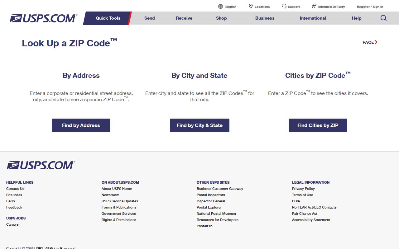
Use the postal result to standardize delivery information, then check the city map or appraisal record separately for the parcel and government geography.
Find Del Rio Records by ZIP
A Del Rio ZIP code is a narrowing tool, not a resident list. USPS can validate one complete address. Explore Del Rio has a public ZIP field with keyword and category filters, but it returns business and community entries. Val Verde CAD may have city, ZIP, or neighborhood filters, although the live controls were not exposed in the research capture. Texas voter-file requests use their own statutory geography choices and the captured form does not establish a Del Rio ZIP selector.
- Start with the complete address in USPS ZIP Lookup and retain the returned ZIP or ZIP+4.
- Compare the address to City GIS city-limits information if the municipality matters.
- Use Val Verde CAD by address, owner, account, or Geo ID to identify the parcel, not as a presumed ZIP-wide output.
- Use a ZIP filter in Explore Del Rio only for its public business and community entries.
- Move from a narrowed address to the Del Rio street directory when parcel and recorded-land research is needed.
The same ZIP can describe a mailing destination, a business-directory filter, a parcel field, or a postal label. Keep the source’s meaning beside the value so those different uses do not merge into one claim.
Del Rio ZIP CAD Limits
Val Verde CAD is useful once an address has been checked, because local examples show how a property record separates the situs, mailing address, Geo ID, and legal description. One county packet example identifies a Vega Verde lot by Geo ID 7010-0080-0010, gives Rio Vista Dr. as the situs, and uses a Del Rio post-office-box mailing address. Those fields show why matching a postal label to a person or a parcel without labels can mislead.
The CAD service supports owner search, address or situs search, and account or Geo ID searching. Its precise current ZIP behavior was not rendered in the captured interface. Do not describe a ZIP-wide CAD output as available until the live service confirms whether it filters situs, mailing address, or another field.
The Val Verde CAD property-search page is the official starting point for that parcel layer.
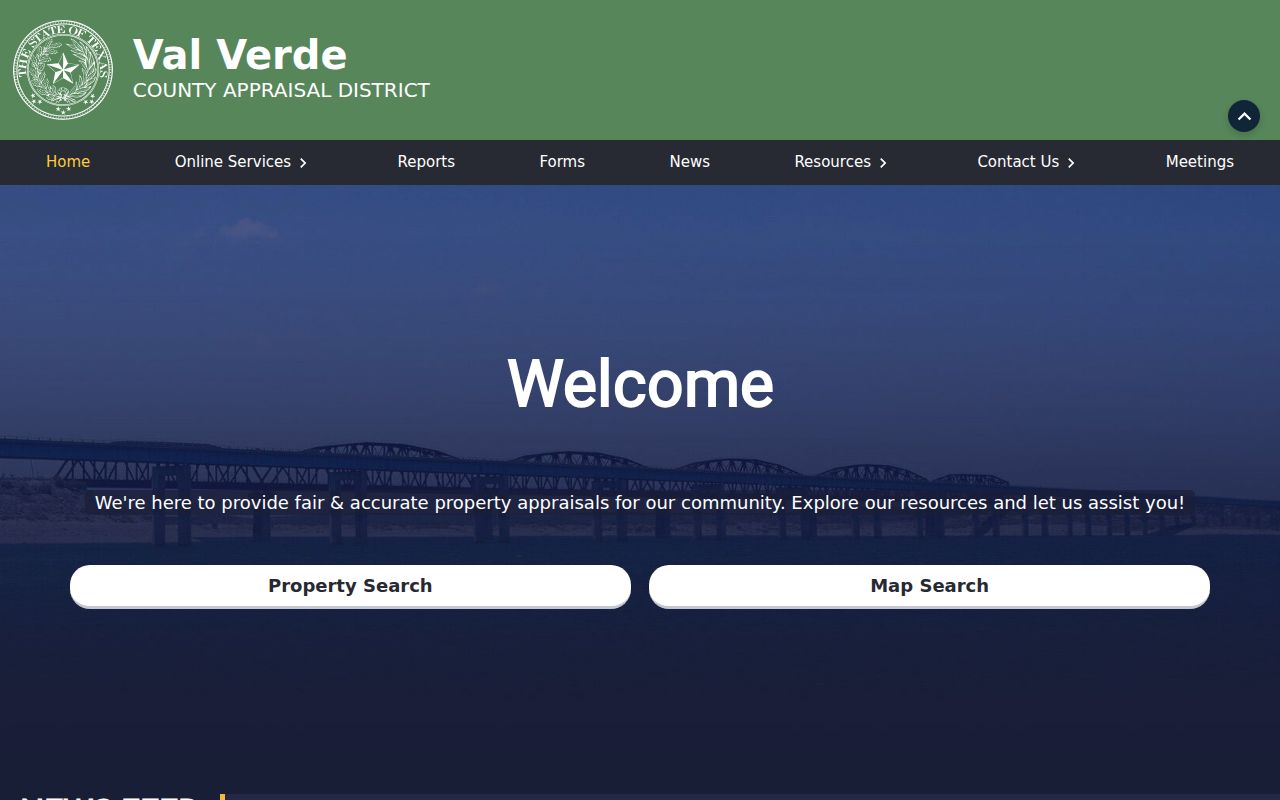
After a property match, keep the CAD tax year and field labels with the result, because an appraisal record and a postal lookup describe different parts of the address.
Del Rio ZIP City Limits
Postal city, municipality, county, situs, and mailing address should remain separate in Del Rio research. The City GIS office maintains public city map products and city-limits downloads, while the County Clerk and CAD maintain county legal and appraisal layers. A property can carry a Del Rio postal label outside the incorporated city, and a County Clerk post-office-box address can have a Del Rio ZIP without describing a parcel location.
Boundary check. Use USPS ZIP Lookup to verify delivery formatting and City GIS to orient the municipal line. Neither one substitutes for the deed’s legal description or a survey when an exact boundary is at issue.
- ZIP and ZIP+4
- A ZIP identifies a postal delivery area; ZIP+4 adds a more precise delivery segment for the complete address.
- Post-office-box ZIP
- A postal code used with box addressing. It should not be treated as the physical situs of a parcel.
- Unique or special-use ZIP
- A code that may have limited or special postal use. The use of 78847 was not confirmed in the reviewed sources.
- Carrier route
- A delivery-route grouping that can change with postal operations and is not a city-boundary line.
City GIS publishes city-limits data, but the reviewed sources do not establish the address-assignment authority for every city or unincorporated address. For a rural-route, base, or county label, retain the original postal form and compare it with the parcel’s legal description rather than assuming that the ZIP resolves the jurisdiction.
Del Rio ZIP Address Layers
Property identity has four useful layers: the street or situs address for the physical parcel, a mailing address for correspondence, the Geo ID or account number for appraisal mapping, and the legal description for recorded land instruments. A ZIP belongs to the postal layer. It can be crucial for matching printed correspondence, but it does not replace the Geo ID or the legal description when the question concerns a particular lot.
For older material, preserve Del Rio and San Felipe del Rio as separate place labels where the source uses them. The city profile says the original name was San Felipe del Rio and an 1883 post office shortened the name to Del Rio. Historical directories, newspapers, and postal records may therefore require both forms. No official street-renumbering or address-conversion year was located, so do not invent one to smooth an old address into a current ZIP.
Del Rio ZIP Directory Filters
Explore Del Rio’s public directory visibly provides ZIP, keyword, category, and A to Z filters. Its categories include Eat & Drink, Events, Services, Shop, Stay, and Things to Do. This is a useful community and business layer when a public organization must be distinguished by its postal area, but it is not a directory of private households.
Regulator-specific searches can also accept city, county, or ZIP in some professional-license interfaces. Those results describe license records, not a general list of people associated with a local ZIP. Read the office or regulator name, record type, and search date alongside every result, then return to the primary custodian for parcel or official-record questions.
Use Del Rio ZIP Research Carefully
No official source reviewed published ZIP-level population figures, voter totals, neighborhood polygons, or a complete delivery-boundary map for Del Rio. Those gaps are meaningful. Do not label a ZIP with an invented neighborhood, claim it has a particular population, or use it to infer who lives within it. A ZIP-wide result from one portal may be a postal validation, a business filter, a mailing field, or an unconfirmed CAD option.
For a sound record trail, save the ZIP exactly as printed, the USPS result and date, the city-limit context if checked, the CAD account or Geo ID if relevant, and the legal description for an instrument. A narrow geographic search is most useful when it leaves postal, parcel, and people-related records in their proper lanes.